
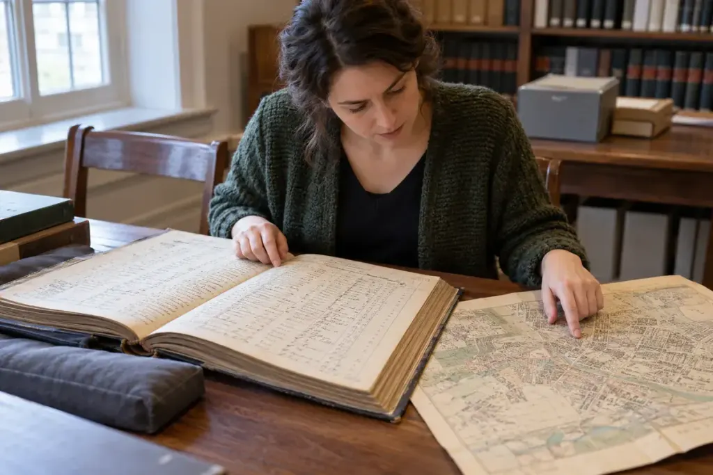
You find a family in a census return, then recognise a name several rows below. It is tempting to place both households next door to one another on a modern map. The sequence is useful evidence, but it is not a ready-made street plan.
Start with the form’s headings. A number may identify a household schedule rather than a building. In its guide to England and Wales, The National Archives warns that schedule numbers should not be mistaken for house numbers. It also explains how enumeration-area descriptions can help establish the place covered.
That example does not establish the layout of records from another country. For a different census, find the archive’s explanation of the particular form, date and administrative area before interpreting its columns.
Build an address trail
- Transcribe the location exactly as written, preserving uncertain words as uncertain.
- Record the census year, page, schedule or household reference and archive identifier.
- Read nearby entries and the area description without assuming the route was a straight walk down one street.
- Compare with a contemporary map, directory or other independently dated record.
Street names, boundaries and numbering can change. A modern building with the same number is therefore a candidate to investigate, not an automatic match. Rural entries may describe only a settlement or locality, leaving a gap that another source needs to fill.
In your notes, separate “recorded at” from “possibly located at.” For example, a hypothetical entry might establish that a household belonged to a named enumeration area while leaving the precise building unresolved. Keep both statements rather than forcing a pinpoint onto a map.
A persuasive local-history account shows the chain of evidence. Nearby names can guide the next search, but the final address should rest on more than the order in which a clerk copied households onto a page.