
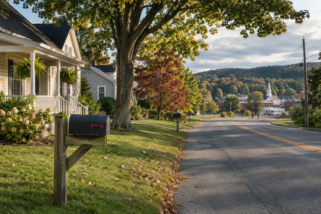
An address includes the name of a familiar town, so it seems obvious which council serves the property. Near a boundary, that assumption can send a resident to the wrong office. Postal labels help deliver mail; administrative boundaries organise responsibilities.
The distinction is visible in the UK’s Office for National Statistics explanation of postal geographies. Postcode areas do not always align with administrative areas, and a postcode can straddle another boundary. This is a UK example of the broader need to identify the relevant jurisdiction rather than infer it from an address label.
Begin with the property and the service
For a practical enquiry, use the official address or property lookup offered by the responsible authority. Check the building number and street, especially where similarly named roads exist nearby. If the result is unclear, ask the authority to confirm responsibility for the exact property.
Then specify the service. Waste collection, roads, planning and other functions may be assigned to different bodies under a country’s local-government structure. Finding one authority’s name does not automatically answer every service question.
Keep the evidence with the answer
For a neighbourhood guide, save the official lookup URL and the date checked. Write “this authority handles this service for this address” rather than making an unsupported statement about an entire postal district. Boundaries and responsibilities can change, so an old directory needs a date as well as a place name.
If you are researching history, use records for the period in question. A present-day council map cannot establish who administered the location decades earlier.
A careful enquiry might read: “Could you confirm who handles street-lighting reports for number 18 on this road?” It gives the recipient a specific task and location. That usually gets further than arguing that the town printed in an address must settle the issue.