
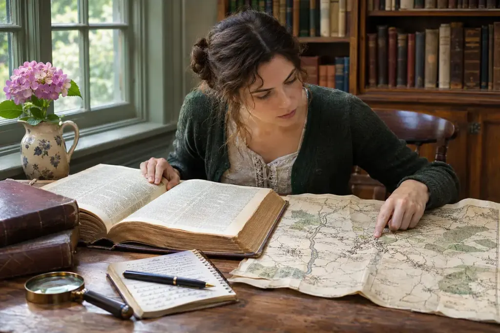
A family record names a village you cannot find on a modern map. Before deciding the writer made a mistake, try a gazetteer: a reference that connects place names with identifying information about the places they describe.
Gazetteers vary. Some are historical books with descriptive entries; others are structured geographic databases. The NGA Geographic Names Server, for example, provides names and associated data for locations outside the United States, including name variants. Its own notes also explain limits on how the information should be interpreted.
Build a small identity record
- Copy the name exactly as it appears in the original record, including accents or uncertain letters.
- Record the date and the larger administrative area mentioned nearby.
- Search plausible variants, then compare the location, feature type and neighbouring names.
- Keep the gazetteer edition or database reference with your finding.
For example, two settlements may share a name while belonging to different districts. A nearby river or parish in the original document can be more useful than choosing the first search result. Equally, a modern coordinate does not necessarily mark the centre of a historical settlement in the same way an old map did.
Multilingual places add another layer. A name may appear in different languages, scripts or transliterations without referring to a different place. Note the form used by each source instead of silently replacing every historical spelling with a modern one.
A gazetteer supplies leads, not an automatic identification. Compare the entry with dated maps, local records and the chronology of administrative changes. When the evidence remains uncertain, retain more than one candidate and state what would distinguish them. That preserves the research trail for the next person who encounters the same elusive name.