
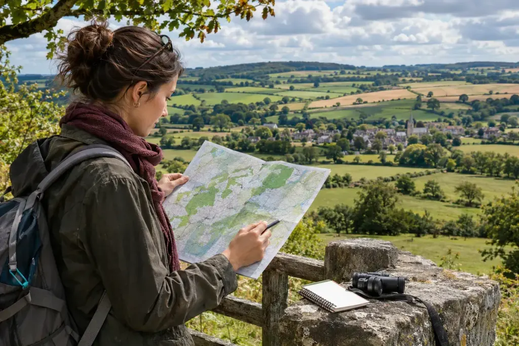
Two countryside views can contain fields, roads and houses yet feel quite different. Field size, settlement pattern, landform, trees and traces of earlier activity combine into a recognisable character. A landscape character assessment tries to describe that combination systematically.
Natural England’s guidance on landscape character assessment explains the use of desk research, field observation, mapping and description. The guidance applies to England, but its distinction between describing a landscape and simply judging whether it is attractive is useful when reading similar local studies elsewhere.
Look for a pattern, not a beauty score
A description might connect narrow fields, hedgerows and scattered buildings with a particular land-use history. Another area might be characterised by broad open views, large fields and compact settlements. Neither description automatically means “protect everything unchanged” or “development is acceptable”.
Character assessment can inform later decisions, but those decisions require their own evidence and policy context. It is not the same as a planning permission, a habitat survey or a guarantee of a protected view.
Read the map and text together
Check the scale, date and purpose. A regional map may describe broad patterns while omitting a lane or small green space that matters locally. Read how the boundaries were drawn; real landscapes do not always change abruptly at a printed line.
For a practical exercise, choose one publicly accessible viewpoint. Write down three observations, then compare them with the assessment. “Small fields divided by hedges” is an observation. “The area has always looked like this” is a historical claim requiring evidence.
Ask what has changed since the survey
New buildings, removed trees or altered farming practices can make an older description incomplete. Bring dated photographs, maps or records to a community discussion rather than relying only on memory. Also ask whose experiences informed the assessment: sound, access and cultural associations may matter alongside the visible scenery.
A useful contribution is specific about place and time. It can improve the evidence available to decision-makers without pretending that one person’s preferred view settles every question about the landscape’s future.