
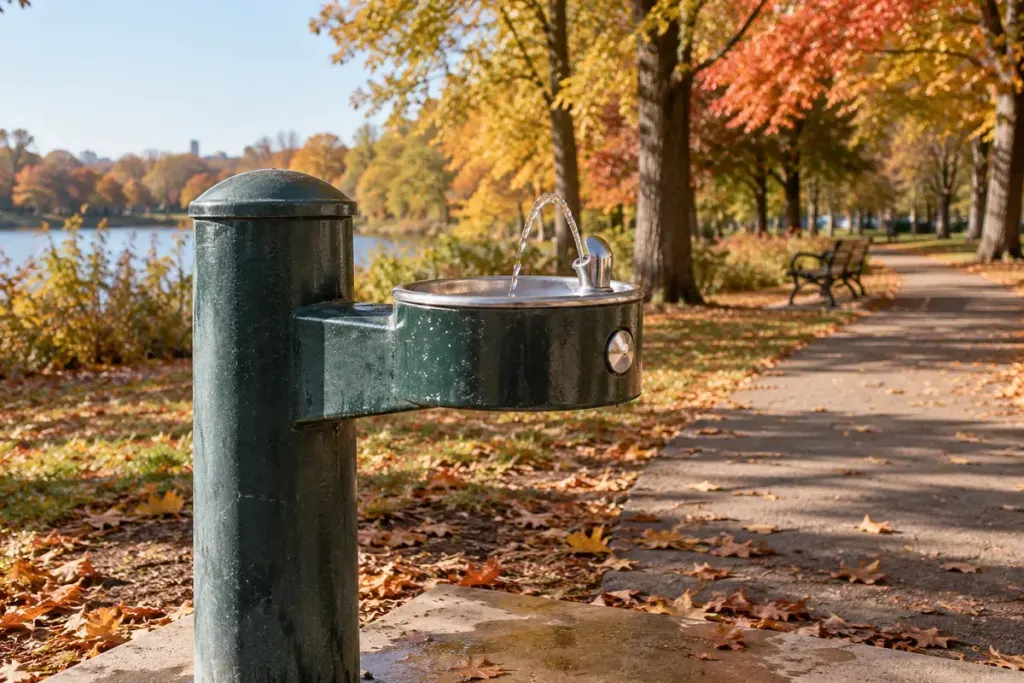
A water-drop symbol on a map is helpful only if the facility can be found and used. A drinking fountain may be switched off seasonally, undergoing repair or located inside a park whose gates are closed when you arrive.
Verify the facility, not just the pin
Use the responsible municipality, park operator or venue as the first source for current information. Check the access hours and any notices at the location. Do not assume that every tap, ornamental fountain or stream marked on a map supplies drinking water.
If the water point is unavailable or its status is uncertain, use a known safe alternative. A personal observation that water is flowing does not establish its quality. Follow official drinking-water notices and do not remove covers or operate maintenance fittings to make a closed facility work.
Write a dated, practical update
A useful local map entry might record the exact position, access route, observed status and date checked. “Inside the north gate, beside the public toilets; unavailable on this visit” is more informative than deleting the point with no explanation.
Include details that affect use: whether the fixture is reachable from the path, whether a bottle can fit and whether access depends on a building being open. Describe what you observed rather than promising universal accessibility from a quick glance.
Report a fault through the operator’s normal channel. Give a precise location or asset number if visible and explain the issue without speculating about its cause. A photograph can help when it avoids capturing identifiable people unnecessarily.
For a walking plan, carry an appropriate water supply rather than depending entirely on one unverified point. For a community map, schedule a review of older entries. The value of the map is not the number of symbols it contains, but whether a person can understand which information is current and what remains uncertain.