
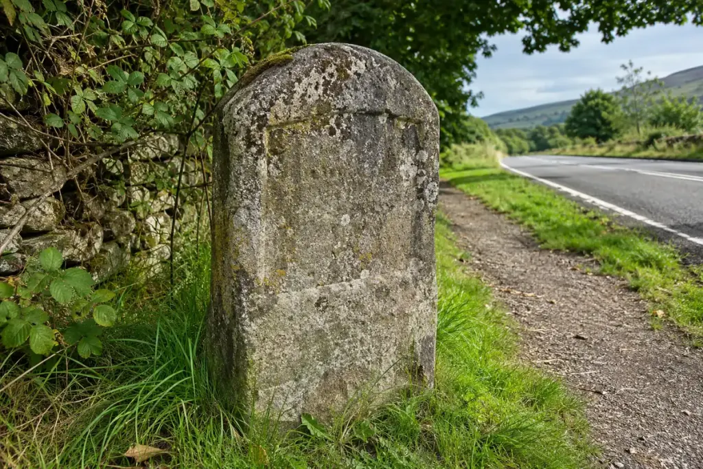
A weathered stone beside a road may carry a place name and a number. It looks like a simple distance marker, but understanding it requires a second question: distance from which point, along which route, and in which period?
Historic England’s street-furniture guidance describes milestones in varied forms and materials, including stone markers later fitted with cast-iron plates. It also cautions that the presence of mileage alone is not a reliable dating method. These English examples provide a way to ask questions, not a date chart for markers in every country.
Transcribe before interpreting
From a safe public position, record the inscription as it appears. Keep uncertain letters marked as uncertain and note any directional face. A number without its associated place name can easily lose its meaning when a photograph is cropped.
Separate the marker’s present location from its documented original position. Road widening, preservation work or relocation may have changed where it stands. Check a heritage record, local archive or old map rather than assuming the current kerb follows the historic route exactly.
Build a modest research note
A useful record contains a photograph, the observed inscription, the present location and the source of any historical claim. For an invented example: “The visible face appears to name Town A; the last digit is unclear; no relocation history checked.” That is stronger evidence than confidently supplying a missing number.
If a measured modern journey differs from the inscription, do not immediately call the old marker wrong. Investigate the route and the reference point first. A town centre, a specific building and a modern road junction need not represent the same destination.
Leave cleaning, repainting and restoration to the responsible owner or conservation service. Better light, a permitted photograph and an archive reference can help you read the object without altering it. The small number on the roadside becomes more informative when its journey is reconstructed carefully.